Indian Government Contemplates Mandating NavIC on Smartphones
NavIC: India’s Homegrown Satellite Navigation System
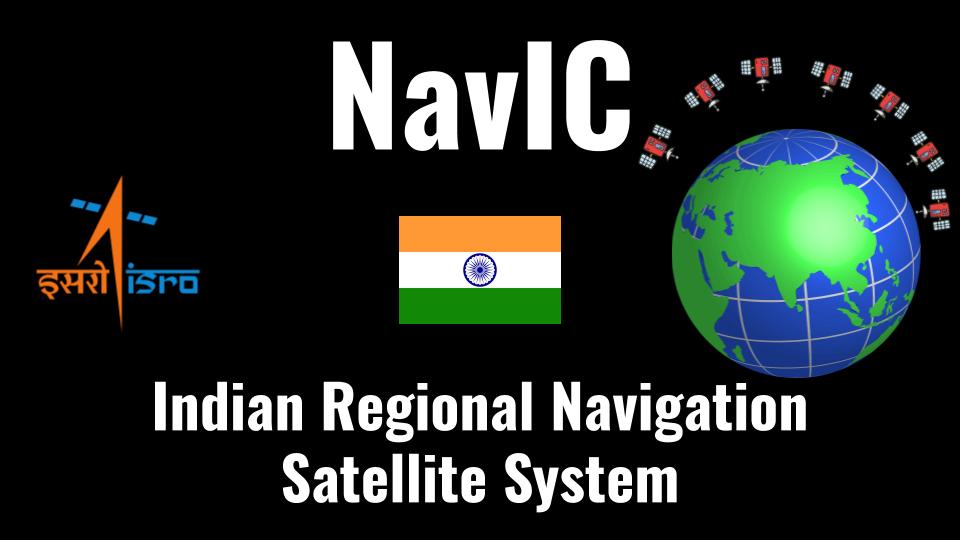
Developed by the Indian Space Research Organisation (ISRO), NavIC is India’s very own satellite navigation system, akin to the globally renowned GPS. It boasts a constellation of seven satellites and a network of ground stations functioning around the clock. Three of these satellites are stationed in geostationary orbit, while the other four are in inclined geosynchronous orbit.
NavIC’s Coverage and Compatibility
NavIC’s coverage currently spans India and extends approximately 1,500 km beyond its borders. What makes NavIC even more remarkable is its compatibility with signals from other global navigation satellite systems like GPS, GLONASS, Galileo, and BeiDou. Glonass hails from Russia, Galileo from the European Union, and BeiDou from China.
iPhone Embraces NavIC
Recently, Apple made a significant stride by incorporating NavIC support into its iPhone 15 Pro and iPhone 15 Pro Max through the new Apple A17 Pro chipset. This marks the first instance of Apple extending NavIC support to its iPhone models, showcasing the system’s growing recognition.
Government’s Proposal for Mandatory NavIC Integration
Rajeev Chandrasekhar, Minister of State for Electronics and IT, announced that the Indian government is pondering the idea of mandating NavIC integration in all smartphones launched in the country. He stated, “We’re planning to make it a standard practice that all devices using GPS technology should have NavIC-powered chipsets or NavIC chips inside.”
Qualcomm, MediaTek, and Android Adoption
Interestingly, chipsets from Qualcomm and MediaTek have been supporting NavIC since as far back as 2020. Several Android smartphone manufacturers have also embraced NavIC, offering compatibility with the system.
NavIC’s Significance for India
The primary motivation behind developing NavIC was to reduce India’s dependence on GPS and other global navigation systems controlled by foreign countries. During the Kargil War in 1999, the United States denied India access to GPS technology, impeding India’s ability to locate Pakistani troop positions.
Furthermore, NavIC utilizes dual bands to provide enhanced accuracy and positioning. According to ISRO, NavIC is anticipated to offer a positional accuracy of 5 meters, a significant improvement compared to the 20 to 30 meters offered by GPS.
A Promising Future for NavIC
In 2021, India outlined its satellite navigation draft policy, emphasizing the importance of NavIC and its plans to promote the technology. The government also expressed its commitment to expanding NavIC’s coverage from regional to global, signaling a promising future for India’s homegrown satellite navigation system.
Also Read: Nipah Virus: Understanding The Threat, Transmission, And Prevention